
This was open water
At the turn of the Common Era the sea here stood at its highest. What is now the Thu Bồn estuary was then a bay, funnel-shaped, reaching, in the surveyors’ reading, a little west of Hội An before curving round the east side of Cẩm Kim and Duy Vinh. Two geomorphologists, Vũ Văn Phái and Đặng Văn Bào, walked every ward of Hội An and several communes of Duy Xuyên and Điện Bàn, then dated the terraces one by one. The sand terrace standing 5 to 7 metres above the water is between 4,000 years and 6,000 years old. The town stands on the high ground of that terrace.
Then the sea withdrew. The river kept pushing sand out, the waves piled it into ridges running parallel to the shore, and the water behind those ridges was shut off from the open sea. For a time, the same study suggests, the place would have looked much as the Tam Giang lagoon and the Hương river do today. That lagoon silted in turn, and what survived of it was one narrow channel called the Cổ Cò and a marsh at Trung Phường.
The headwaters lie beside Trà My, one of the wettest places in the country, so the river carries more water than any other in central Vietnam and carries it all at once. Between September and December it moves 80 to 90 per cent of the year's flow. The other eight months divide what remains, 10 to 20 per cent.
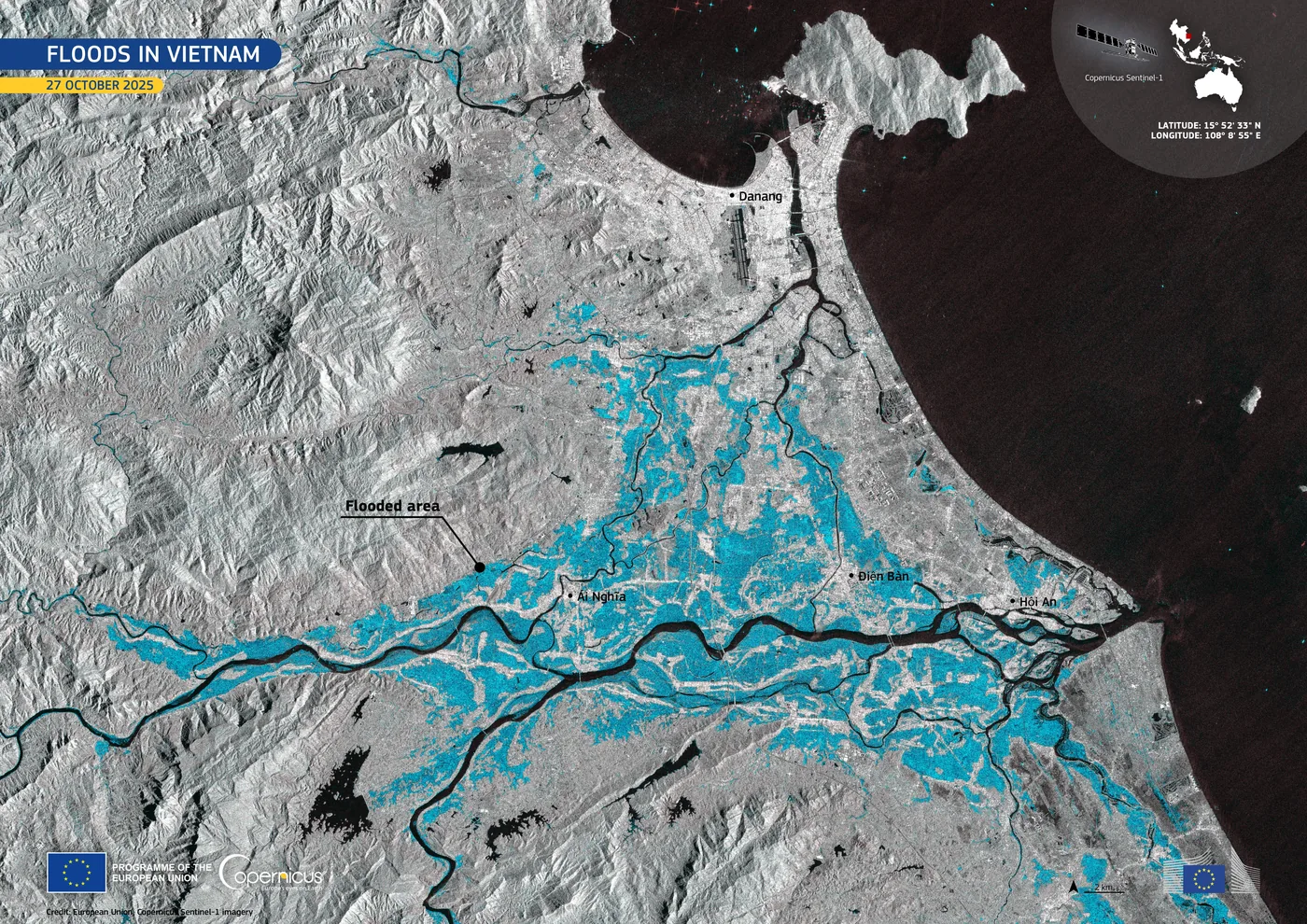
At the mouth the land is flat, so the tide pushes 40 km inland. The tidal range at Cửa Đại runs from 0.8 metres at its smallest to 1.5 metres at its largest. On each ebb the retreating tide and the river current scour the entrance together, which is why the inner channel at Cửa Đại is tens of metres deep. The largest flood the town still remembers is the flood of 1964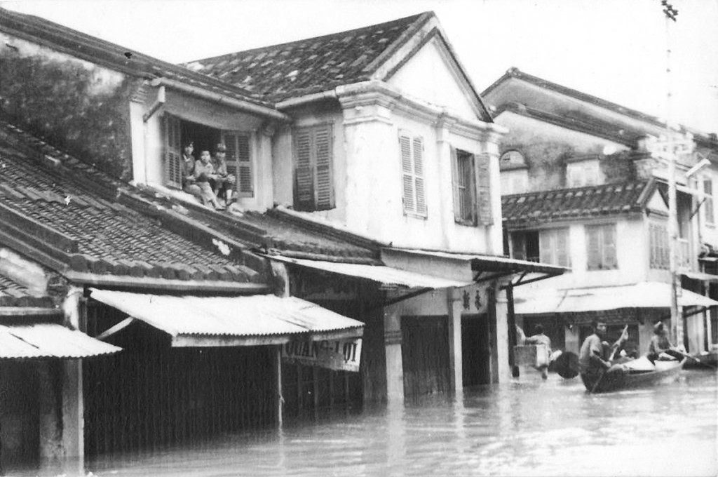 EVENT · FLOODThe Great Flood of 19649 November 1964The high-water mark against which every later flood in the province of Quảng Nam is still measured. The river passed it again in October 2025..
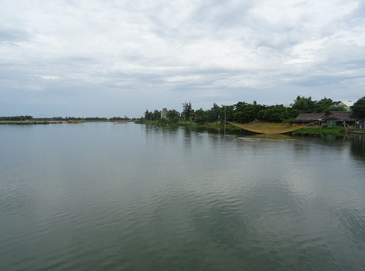 Photograph · Christophe95 · Wikimedia Commons · CC BY-SA 4.0
The traffic is older than any state here
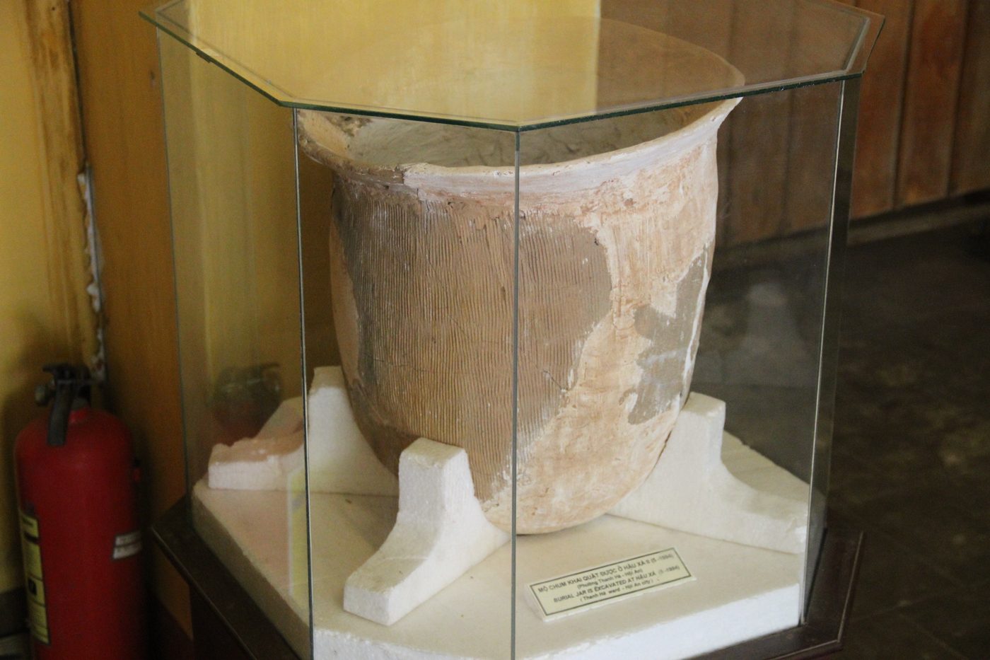
Sa Huỳnh jar burials lie along both banks of the Thu Bồn, from the mountain tributaries down to the lower river. In 1985 Vietnamese archaeologists excavated one such burial ground at Tà Bhing, a village well inland in the Quảng Nam highlands, beside a stream running down to Bến Giằng. Tà Bhing is Cơ Tu country. From 1997 Vietnamese and Japanese teams dug together along the middle and upper reaches.
The material from the coastal plain and the material from the mountains fall into the same early and late phases, and each phase runs continuously into the next. Trần Kỳ Phương read one conclusion out of that. Goods were already moving up and down this river before any state existed here to move them. A third-century Chinese record lists aloes-wood among the products of Nhật Nam, the prefecture the Chinese called Rinan, gathered from the forest by the people who lived there.
The river was a goddess
From the fifth century the Cham dynasties worshipped the river itself. They called it Mahanadi, the Great River, and identified it with the goddess Ganga, consort of Siva. The mountain at Mỹ Sơn was Mahaparvata, the holy mountain of Siva. The river ran below it to the sea.
Three kinds of place stood along one watercourse: the sanctuary upstream, the royal city on the plain, the trading mouth at the end. Mỹ Sơn holds 68 temple-towers raised between the end of the fourth century and the thirteenth, and entered the World Heritage List in 1999. The capital at Trà Kiệu lies on the same basin, and so does the Đồng Dương monastery, built in 875. In that model water joined the three, and roads did not.
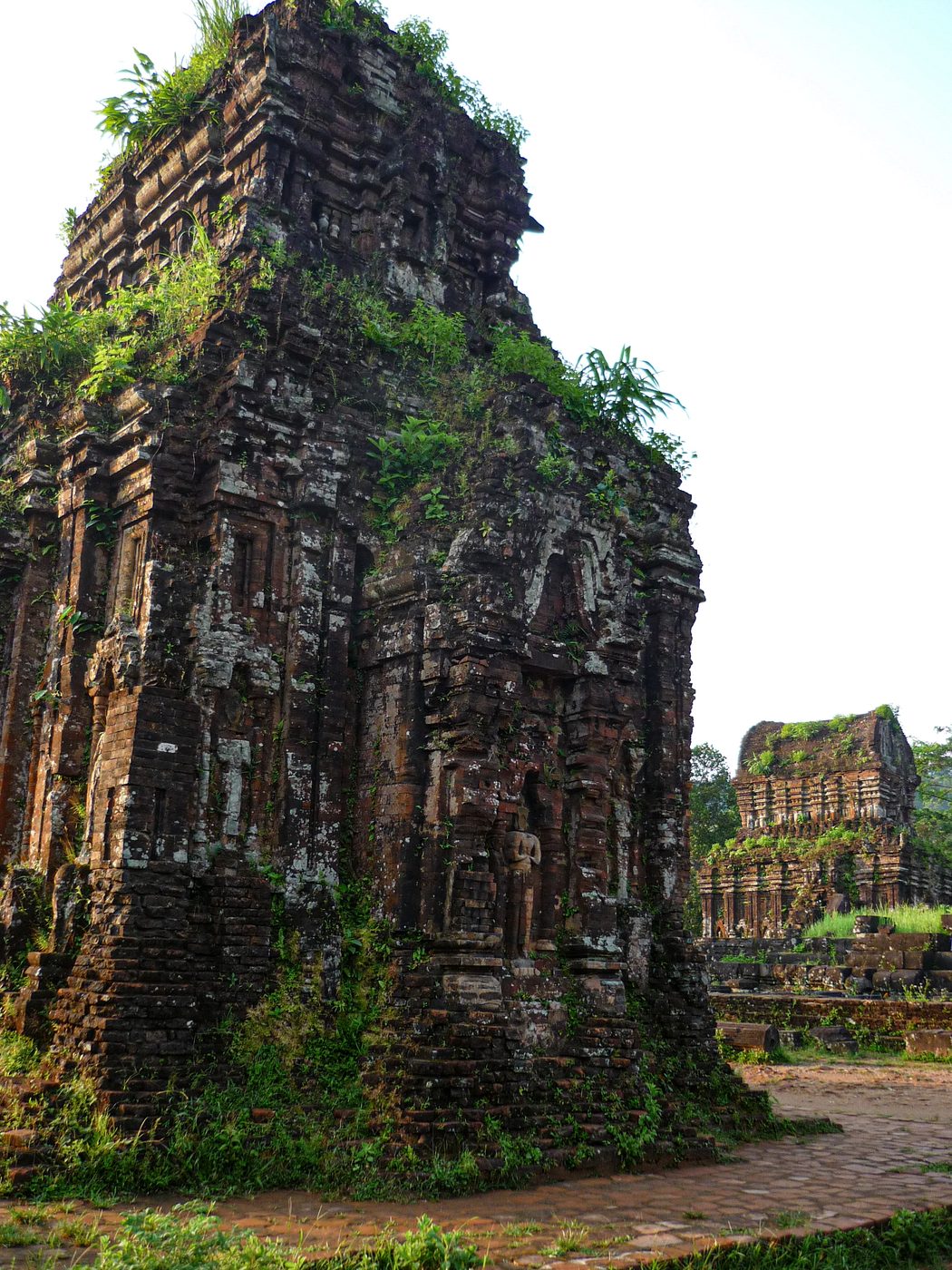 Photograph · Philip Nalangan · Wikimedia Commons · CC BY 4.0
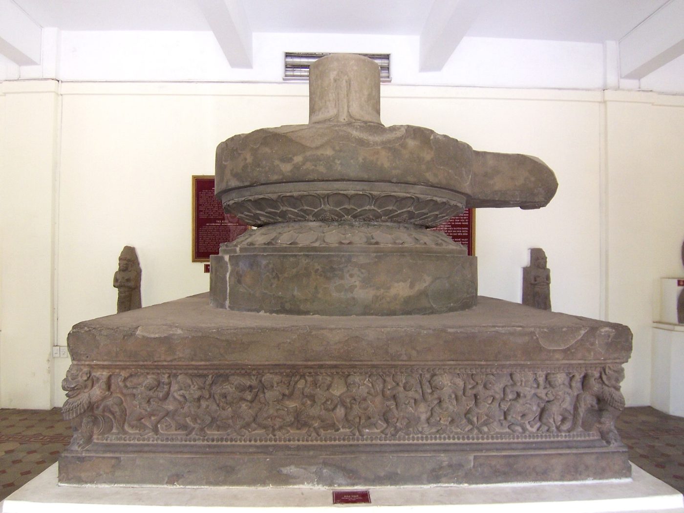 Photograph · DoktorMax · Wikimedia Commons · public domain
The river shows it once a year
Upstream, two ranges about 500 metres high close in on the river and the rock faces push out as though to bar it. The reach is called Hòn Kẽm – Đá Dừng. At the foot of the Thạch Bích rock there is a Cham inscription that people nearby call Đá Bùa, 2 lines of Sanskrit, each line 2 metres long, the letters 15 cm tall.
A French clerk from the residency at Hội An noticed it in 1908. In 1911 Édouard Huber of the École française d'Extrême-Orient transliterated the two lines and read in them the name of King Prakasadharma and his dedication, at this place, to the god Amaresa, which is to say Siva. Huber recorded that a linga had once stood on the inscription and that a flood had carried it off. It is one of 40 Cham inscriptions scattered across Quảng Nam.
The writing lies under water most of the year. On the full moon of the eighth lunar month, when the river usually runs low, the two lines come up, and fishermen from the upper valley bring incense and offerings to them. Boat people passing that reach have two lines of their own: look up at Hòn Kẽm Đá Dừng, and miss your father and mother more than you can say.
The character has no water in it
The river changed name with whoever was naming it. Cham inscriptions have kraun Sinhapura. Sino-Vietnamese texts have Sài Thị giang, the river of the firewood market. That market served the citadel at Thanh Chiêm and sold firewood and fresh water to foreign ships lying at Trà Nhiêu. Under Tự Đức the river took the market’s name, and the court entered it among the great rivers of the realm, on the register of state sacrifices. The Đồng Khánh gazetteer writes Thu Bồn as 秋盆, in which the second character means a basin and carries no water radical at all.
In 2006 the scholar Nguyễn Sinh Duy read those two characters as autumn river water and cited a poem by Lê Thánh Tông, Thu Bồn dạ bạc, in support. Nguyễn Dị Cổ went back to the other texts. Volume 13 of Phạm Phú Thứ's collected works names Thu Bồn 3 times, and not one of those carries the water radical either.
He offered a different reading. Thu Bồn may transcribe the Cham sumut drak, from the Sanskrit samudra, meaning the sea or the shore. If that is right, the name says nothing about a season. It describes a sheet of water as wide as a sea lying inside the mouth, which is what stood here before the fifteenth century.
Either way in was a way by water
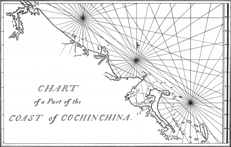
Merchant ships reached Hội An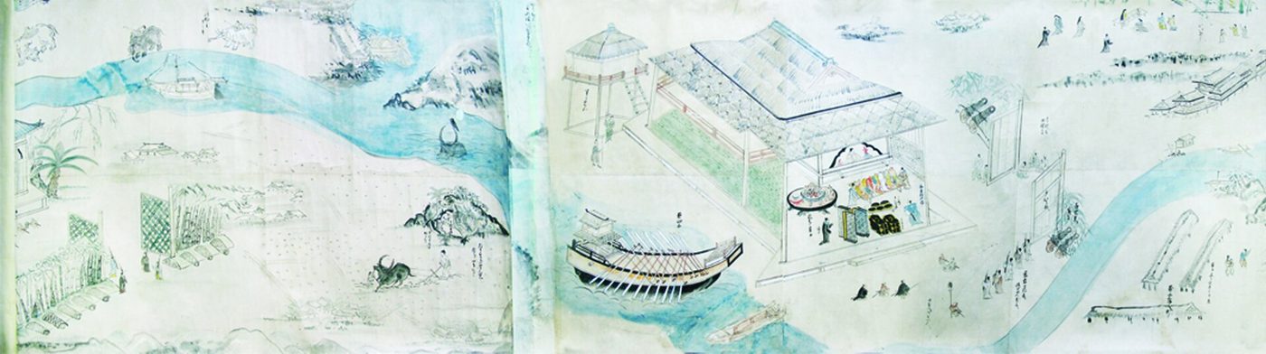 ERA · TRADING PORTFaifo, the Port Centuryc. 1523 – 1778Once a year the monsoon carried Japanese, Chinese and Portuguese ships into a river mouth in Quảng Nam, and they stayed four months. The Nguyễn lords taxed each ship by where it had come from. A European ship paid the most, eight thousand quan to enter. by two routes. Ships from the south came straight in at the Đại Chiêm mouth. Ships from the north were the more numerous group, in the reckoning of the study. They entered at Cửa Hàn, the harbour of Đà Nẵng, and worked down the Cổ Cò channel, which spared them the run around the Sơn Trà peninsula and kept them out of the weather.
In the eighth month of 1695 the lord Nguyễn Phúc Chu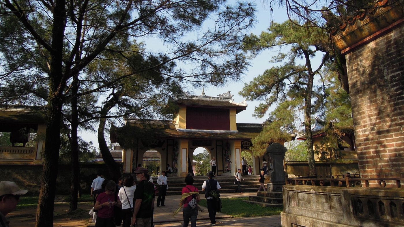 PERSON · NGUYỄN LORDNguyễn Phúc Chu1675 – 1725 · R. 1691 – 1725He held Đàng Trong for thirty-four years. He brought a Chinese monk over for half a year and then had the man's counsel cut into a board and hung at his gate. He asked the Qing court for a title and did not get it. His own hand survives on a bell, a stele, the preface to a book, and three characters on a bridge at Hội An. gave the Chinese monk Thích Đại Sán a boat from Phú Xuân to Hội An so that he could take a trading ship home. He set the stage down in his Hải ngoại kỷ sự. The boat put into Đà Nẵng bay for a night, went up the Hàn, then turned into the Cổ Cò. A grain convoy travelled with him, masts crowded together, and eight escort boats besides, so the channel was still broad that year.
The imperial gazetteer measured the Đại Chiêm mouth at 160 trượng across, 6 thước deep at high water and 4 thước 5 tấc at low, and called it the place where ships from north and south gathered. Lê Quang Định measured differently. Compiling his geography of the realm between 1803 and 1806, he counted in tầm: 862 tầm south to the Đại Chiêm mouth, 6,558 tầm north to the Cổ Cò canal.
A buffalo bladder of gold in a day
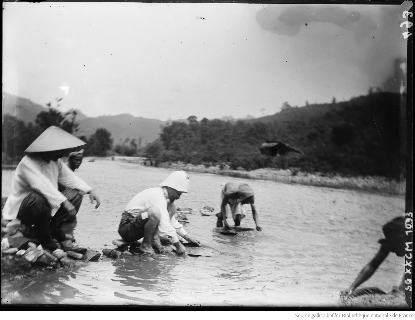
Under the Nguyễn lords, Thu Bồn was not the name of the river. It was the name of a nguồn, an upland district that existed in order to be taxed. The nguồn of Thu Bồn lay in Duy Xuyên, held the mountains of Trà Nô and Trà Tế, and produced gold.
Lê Quý Đôn set down how the miners took the gold. Having found a seam at the head of a mountain, people dug the earth out, roofed the working over, heaped the spoil into mounds and poured water through it to wash the metal free. Some of the pits went down a thousand thước. A day of washing could yield a buffalo's bladder of raw gold, which went to the official furnace to be smelted.
Some cheated, grinding Kangxi coins into the dust to make up the weight. The test was a reed flower. Coin dust was light and stuck to the flower, gold grains were heavy and never did. Having described the test, the book closes the matter in a line: by this method the true and the false are plain enough.
The lord granted this nguồn to Trương Phúc Loan, his Outer Left minister, as a stipend. Loan handed the collection to a member of his household named Án Điện, who ran it for more than 20 years. A local man called Giang Huyền paid Án Điện and bought a mountain of his own. He worked it himself and sold the gold to merchants at Hội An at nearly 1,000 hốt a year. In tax he returned one or two tenths of it. On the register the whole nguồn of Thu Bồn yielded 3 hốt, 8 lạng, 3 tiền and 1 phân of gold a year.
Wherever the water passed, somebody sat and collected
Open Lê Quý Đôn's tax register and the whole river is in it. The customs post of Thu Bồn, up at the source, took 516 quan and 6 mạch a year. The ferry at Thanh Chiêm, mid-river, took 244 quan and 5 mạch. The post at the Đại Chiêm mouth, on the sea, took 75 quan. The market at Hội An took 49 quan. Of those four, the heaviest stood not at the sea gate but where the forest came out.
Besides gold, the nguồn of Thu Bồn owed 712 quan in tax and betel money. It owed 120 rolls of rattan at a mạch each and 2,800 torches of cam lãm resin at nine zinc coins each. It owed beeswax, oil and rattan mats as well. A forest, entered as countable units.
Goods from the whole region reached the town by land and by water. The book records a Guangdong merchant named Trần Dung saying that with a fair wind it was 6 days from Guangzhou to the Đại Chiêm mouth, and that Quảng Nam wanted for nothing. Prices went by the tạ, and a tạ in Quảng Nam was 100 cân: areca at 3 quan, pepper at 12, birds' nest at 200 quan, rhinoceros horn at 500 quan.
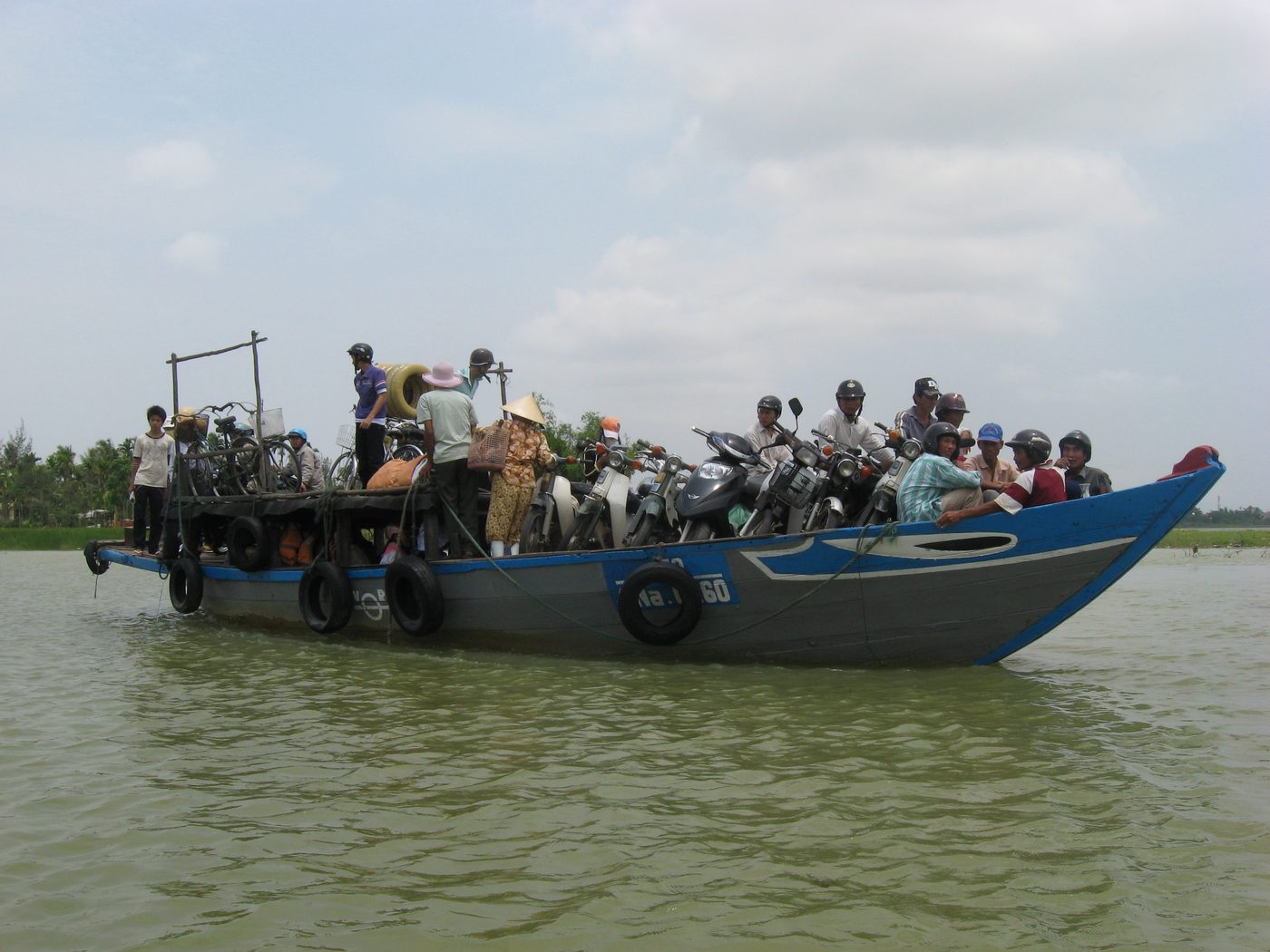
If the ferry at Thanh Chiêm paid tax, somebody on the far bank was paying it. Across the water from the town lies Cẩm Kim. The story the villages tell is that the founder of the Kim Bồng carpentry trade came down from Thanh Hóa and settled here in the sixteenth century. The village has water on three sides, sits on the Thu Bồn and lies against the port, so timber coming down from the source reached these carpenters first.
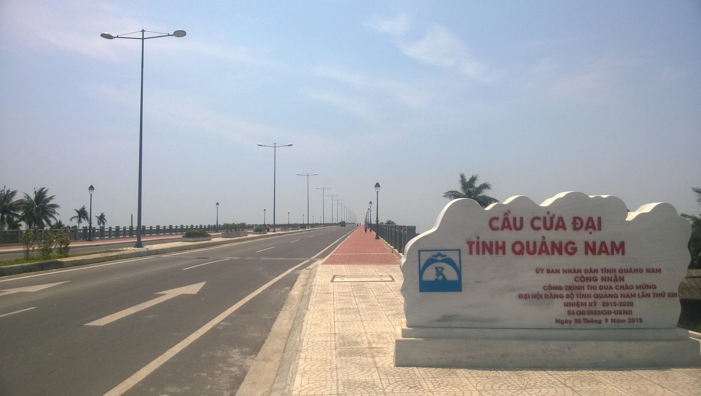
Kim Bồng people still cross to town by ferry, a few minutes each way. The Cửa Đại bridge over the lower river is recent, and it crosses somewhere else.
 Photograph · Dragfyre · Wikimedia Commons · CC BY-SA 3.0
Digging a river to replace a river
By the nineteenth century the water road to Đà Nẵng was closing. In 1822 Minh Mạng sent the official Lê Đại Cương to dredge the old channel from Câu Nhí to Cẩm Sa, more than 850 trượng of it. What came out was shallow and narrow, wide enough for one boat.
In 1824 it was done properly. The king ordered a canal 1,647 trượng, 7 thước and 5 tấc long, 5 trượng wide and 8 thước deep, and gave Lê Đại Cương 3,000 men of the district to dig it. Each man drew 3 quan and one phương of rice a month. It took a little over 2 months. The king named it the Vĩnh Điện river and rewarded Lê Đại Cương with 80 quan, two bolts of gauze silk and a record of merit.
The next year the king toured Quảng Nam and his barge went down that canal. The widest stretch was under 2 trượng and the narrowest little more than 10 thước, against a channel specified at 3 trượng 4 thước. He handed the supervising officers to the ministry for punishment. Then he took 8,000 men of the district for corvée, split them into two shifts changing month by month, and had it dug again.
Trương Văn Minh, who ran the works, reported on the twenty-sixth day of the sixth month. He had examined the ground closely. A sandbar blocked the old entrance, and cutting from there to the water's edge meant 823 trượng. Moving the entrance 46 trượng downstream left only 560 trượng. That saved 263 trượng and kept the cut clear of the drift of sand that silted the mouth. He asked for 4,000 men of the district and a thousand hired hands besides. Every 10 days the works drew 20 quan of public money.
They filled in the river they had dug
In the eighth month of 1858 French forces attacked Đà Nẵng. Tự Đức approved a request from the Quảng Nam authorities to hire labourers, make bamboo baskets, cut timber and fill in the Vĩnh Điện canal. Filling it pushed the water back towards the Đại Chiêm mouth and left the lower reach shallow, so that French sampans could not come up and the garrison could concentrate on the land approach.
The canal never recovered. In 1875 Cao Hữu Sung and Trần Văn Thiều inspected it. They reported that since the digging of Vĩnh Điện the water had run north and the channels were growing shallower year by year. Farming, trading and fishing had all suffered by it. In 1876 Nguyễn Tạo petitioned to dig the Ái Nghĩa river instead and fill Vĩnh Điện for good. Tự Đức, seeing how much money and labour had already gone into it, ordered another survey.
From the first spade in 1822 to that petition is 54 years and three reigns. The channel went on narrowing at its own pace.
A railway where a river had been
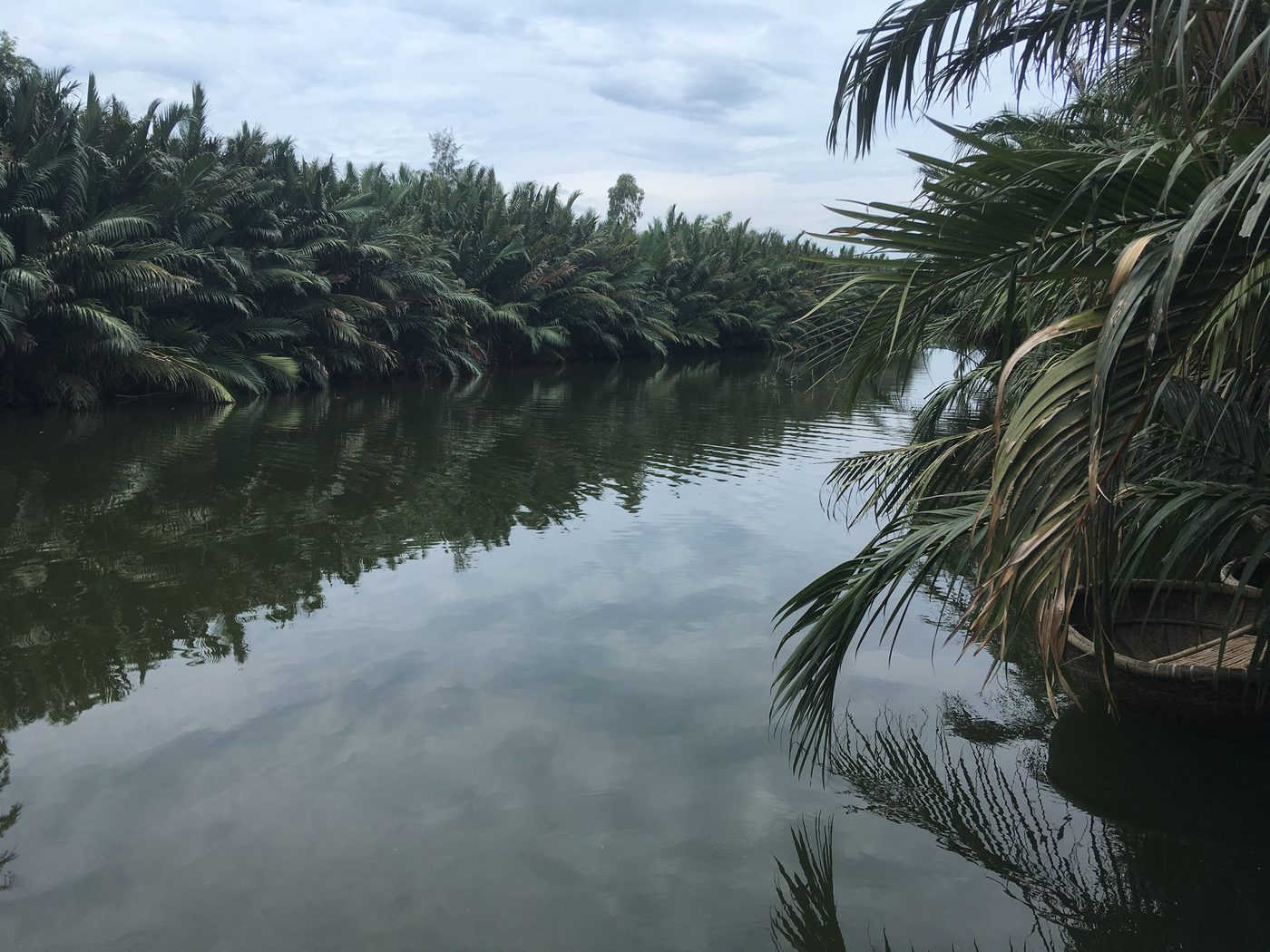
The Cổ Cò ran about 27.5 km, hugging the coast from Đà Nẵng down to Hội An. Each district it passed gave it a different name: the Hà Sấu, the Bến Trễ, the Đế Võng. Nguyễn records call it Lộ Cảnh Giang.
Until about 1891 the channel still carried commercial launches easily. Not long after, it silted until a boat drawing 30 cm had to wait for high water to reach Đà Nẵng. The gazetteer put it briefly: the water is shallow now and boats cannot pass.
The French still needed to move goods between the two places. With no money found for dredging, in the middle of 1904 the government of IndochinaA COLONIAL FEDERATION'S NAMEIndochinaA European coinage for the land lying between India and China, which named a place after the two large countries on either side of it rather than after anybody who lived there. In 1887 the French made it the name of the federation they assembled out of Nam Kỳ, Bắc Kỳ, Trung Kỳ and Cambodia, with Laos added in 1893. A colonial-era record that says Indochina is therefore naming an administration that spanned three countries, not naming Việt Nam.French Indochina — English Wikipedia built a Decouville tramway to do the work the river had done. The government scrapped the line in 1916.
A man at 89 Nguyễn Thái Học street remembered that when he was a boy, around the 1960s, the river along Bạch Đằng was deep enough for trading ships of 60 m to lie alongside.
 Photograph · Christophe95 · Wikimedia Commons · CC BY-SA 4.0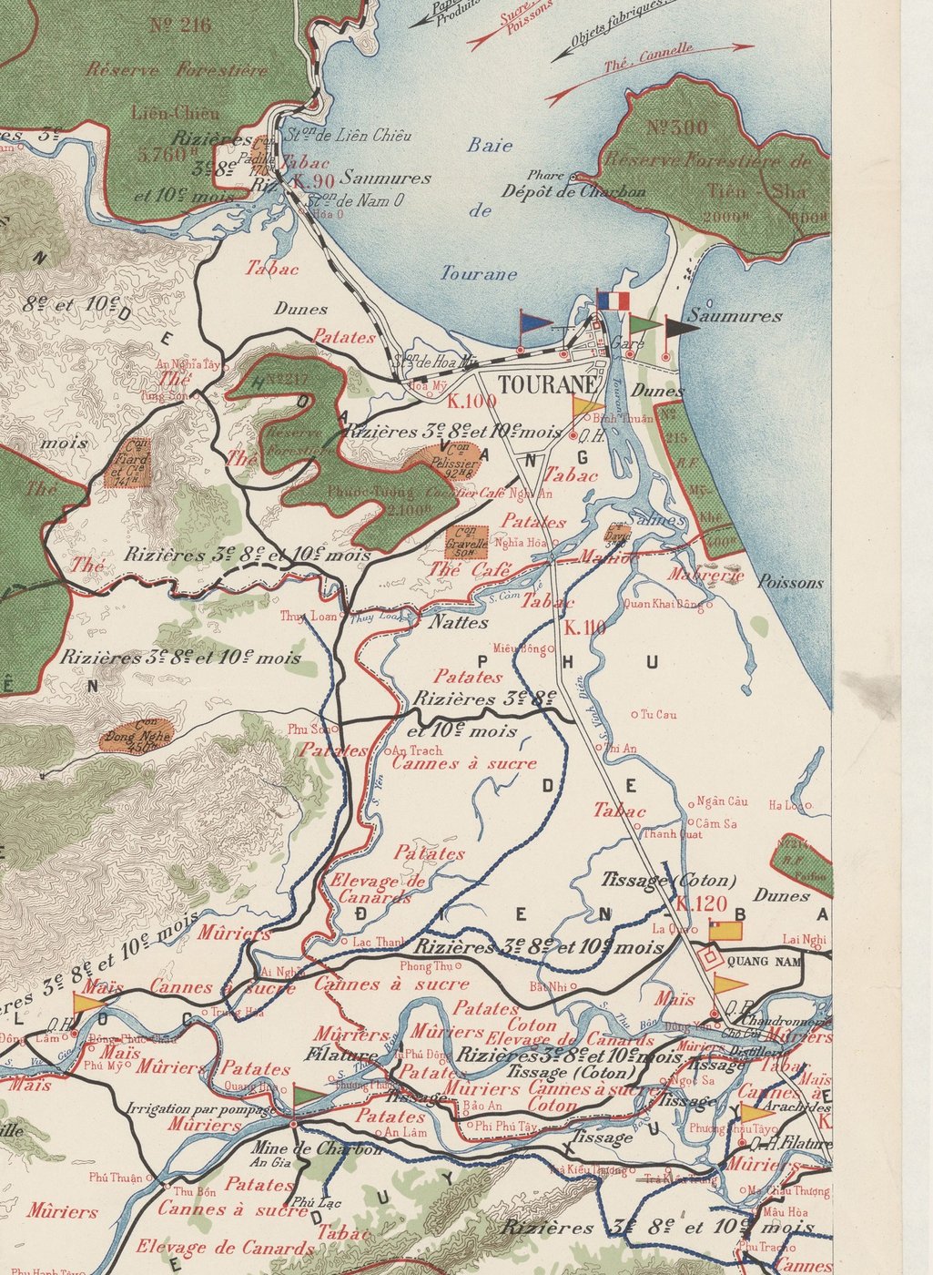
A village written down in 123 pages
In 1962 a research team under John D. Donoghue went into the fishing village of Cẩm An at the river mouth and produced 123 pages on it. The village held 6,491 people, lay 4.5 km from Hội An, and took in four hamlets: An Bàng, Tân Thành, Phước Trạch, and Tân Hiệp out on Cù Lao Chàm.
Between 85 and 90 per cent of the village lived by fishing. The offshore season ran from the second to the fifth lunar month, and boats went more than 60 km out before they shot their nets. After the sixth month the sea turned and they worked close in with basket nets, drag nets and lift nets. They built their boats of sao timber, and a boat lasted about 15 years with repair.
The affairs of the village went through the vạn chài, the fishing guild. Its head managed the boats, the fishermen and the carrying trade, and presided at the rites. Every hamlet kept a shrine to the whale and a whale cemetery for burying those that came ashore. They held the Nghinh Ông ceremony twice a year, once as the offshore season opened and once as it closed.
 Photograph · US Navy, USN 1119301 · 1 December 1966 · public domain
 Photograph · Seabee Museum, US Navy · 1967 · public domain
The woman who carries the river’s name
The people along the river worship a woman who carries the river's name. The version most often told makes her a Cham general who, defeated, threw herself into the water, and whose body came down to Thu Bồn village, where the villagers buried her and raised a mausoleum. Other versions dwell instead on her appearing to protect the district through drought and flood.
The mausoleum stands in Thu Bồn hamlet, Duy Tân commune. In its grounds is a stone cut with old Sanskrit, taken as a trace of Cham foundations on the site. The building once stood right at the bank and had to be moved because of erosion, and the village restored it in 2003 and again in 2016.
The festival runs from the tenth to the twelfth day of the second lunar month. Two places keep it at once, the mausoleum on the lower river and the shrine upstream at Trung Phước. There are processions of the imperial patents and of water, a great sacrifice, boat races and floating lanterns.
On 30 September 2020 the Ministry of Culture, Sports and Tourism entered it on the national list of intangible heritage. She guards the people who live off the river, and the river keeps taking her mausoleum.

.webp)
.jpg)

Short of sand, the river digs into itself
In 2011 the sediment record for the basin breaks. That was the year the Đắk Mi 4 and Sông Tranh 2 reservoirs came into service. After the dams, mean annual sediment past the Giao Thủy gauge on the Thu Bồn fell from 6.63 to 5.05 million tonnes, a drop of 23.8 per cent. On the Vu Gia, the Ái Nghĩa gauge fell by 57.3 per cent.
In March 2021 a research team resurveyed 71 cross-sections along 240 km of the two main rivers. Against 2010, the deepest line of the bed had dropped 1.8 metres at Ái Nghĩa and 3.9 metres at Giao Thủy. Water levels fell 44.3 per cent at Giao Thủy and 21.1 per cent at Ái Nghĩa.
Sand that never reaches the sea is sand the sea takes from the shore instead. Counting from when the erosion began, the beach at Cửa Đại has lost about 160 metres inland. More than 250 billion đồng of public money has gone into holding that shoreline, and conference after conference has still not settled on a final cause.
Cửa Đại moving south is not new. Comparing aerial photographs from 1964 with photographs from 1985, Vũ Văn Phái and Đặng Văn Bào found the mouth had shifted hundreds of metres southward. What is new is that the river no longer has the sand to pay the sea back.
 Photograph · Linhcandng · Wikimedia Commons · CC BY-SA 3.0
- “Đặc điểm, địa mạo khu vực Hội An và lân cận (vùng cửa sông Thu Bồn)” — khảo sát thực địa toàn bộ xã phường Hội An và một số xã Duy Xuyên, Điện Bàn; dựng bản đồ địa mạo theo nguyên tắc nguồn gốc lịch sử
- Phủ biên tạp lục — trọn 6 quyển, bản dịch Ngô Lập Chí, Khoa Xã hội, Trường Đại học Tổng hợp Hà Nội, 1959
- “Sông Vĩnh Điện, Quảng Nam qua Châu bản triều Nguyễn” — Trung tâm Lưu trữ quốc gia I; dẫn thẳng bản tấu của Trương Văn Minh 26/6 Minh Mạng 6, bản phụng chỉ của Nguyễn Hữu Thận, Đại Nam thực lục và Đại Nam nhất thống chí, kèm thác bản bia N0 19327 ở Viện Nghiên cứu Hán Nôm
- “Vai trò của sông Cổ Cò với thương cảng Đà Nẵng – Hội An trong lịch sử” — có chú thích nguồn đầy đủ; dẫn Hải ngoại kỷ sự, Hoàng Việt nhất thống dư địa chí, Đại Nam nhất thống chí, bản đồ La Floche de la Carrière 1787, phúc trình Chambre consultative 1902
- “Interactions Between Uplands and Lowlands Through the Riverine Exchange Network of Central Vietnam — A Case Study in the Thu Bồn River Valley” — BiblioAsia 4(3), Thư viện Quốc gia Singapore
- “Quantifying the consequences of unsustainable sand mining and cascade dams on aspects in a tropical river basin” — Scientific Reports; đo đạc thực địa 71 mặt cắt các năm 2010, 2015, 2018, 2021 trên Vu Gia – Thu Bồn, mô hình SWAT hiệu chỉnh 1996–2010 và kiểm định 2011–2020
- “Thu Bồn có phải sông nước mùa thu?” — Báo Đà Nẵng 05/12/2015; bác cách đọc 秋湓 “sông nước mùa thu”, dẫn Đồng Khánh địa dư chí và Giá Viên toàn tập đều chép 秋盆 không bộ chấm thủy, nêu giả thuyết Thu Bồn kí âm “sumut drak” tiếng Chăm
- “Ngó lên Hòn Kẽm - Đá Dừng” — Tạp chí Văn nghệ Đà Nẵng
- “Hòn Kẽm - Đá Dừng” — Trẻ Magazine, phóng sự đường sông lên Hòn Kẽm
- “Một góc nhìn về đời sống của ngư dân Cẩm An - Hội An” — dựng trên khảo sát của John D. Donoghue, *Cam An: A Fishing Village in Central Vietnam*, 1962, 123 trang
- “Nghề mộc Kim Bồng” — Trung tâm Quản lý Bảo tồn Di sản Văn hóa Hội An
- Hải ngoại kỷ sự — khảo cứu kèm trích nguyên văn bản dịch Viện Đại học Huế 1963
- “Một thập niên giải cứu biển Cửa Đại” — Báo Đà Nẵng; mức xâm thực vào đất liền và tổng ngân sách đã chi
- “Vì sao bờ biển Hội An bị sạt lở ngày càng nghiêm trọng hơn” — Tuổi Trẻ 16/12/2020
- “Ý kiến trái chiều về nguyên nhân hình thành cồn cát Cửa Đại” — VnExpress
- “Suy giảm lượng bùn cát trên lưu vực sông gây sạt lở bờ biển” — Tổng cục Khí tượng Thủy văn
- “Lễ hội Bà Thu Bồn” — Wikipedia tiếng Việt (ngày lễ, hai cơ sở thờ tự, quyết định 2731/QĐ-BVHTTDL ngày 30/09/2020, bia đá khắc Phạn ngữ ở khu vực lăng)
- “Đặc sắc lễ hội Bà Thu Bồn — Di sản Văn hóa Phi vật thể Quốc gia” — VietnamPlus
- “Development of a Spatial Decision Support System for Real-Time Flood Early Warning in the Vu Gia–Thu Bon River Basin” — Sensors 20(6):1667
- “New Perspectives in Southeast Asian and Pacific Prehistory”, chương 19 — ANU Press
- “Độc đáo Trà Kiệu!” — Báo Đà Nẵng
- “Trình độ hàng hải đáng gờm của người Chăm” — Tia Sáng
- “Sông Thu Bồn” — Wikipedia tiếng Việt
- “Đồng Khánh địa dư chí” — Wikipedia tiếng Việt (bản dịch 2003 chỉ in 19 tỉnh từ Thừa Thiên Huế trở ra; phần Quảng Nam không nằm trong đó)
- “Quảng Nam qua mộc bản, châu bản triều Nguyễn” — Báo Quảng Nam
- “Sông Thu Bồn và sông Chợ Củi” — tập hợp tư liệu về đoạn sông thầy Anrê Phú Yên qua lại
- “Xứ Quảng Nam xưa: Thời Tây Sơn” — Thanh Niên
- Tri thức dân gian về nhận biết, ứng phó với các hiện tượng tự nhiên trong nghề biển của cư dân Phước Trạch
- Devastating flooding in Vietnam (Copernicus 2025-10-27) — European Union, Copernicus Sentinel-1 imagery, CC BY — ghi công tác giả
- Sa Huynh Pottery Burial Jar — Gary Todd, CC0
- Chart of a Part of the Coast of Cochinchina between Fai-fo and Hue — East India Company, Chapman Mission, Public domain
- Mỏ vàng Bồng Miêu — không rõ, ảnh tư liệu Pháp thuộc (SG XXCM 1093, Gallica / BnF), Phạm vi công cộng
- Carte économique de l'Annam. Province de Quảng-Nam — Gilbert, Services Agricoles (theo lệnh Pasquier), Phạm vi công cộng
- Lễ hội Bà Thu Bồn — Danang Fantasticity, Bản quyền tác giả